


Ottawa National Wildlife Refuge
or Magee Marsh Wildlife Area
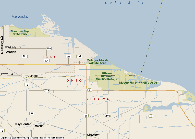
Detail map. For overview map see below.
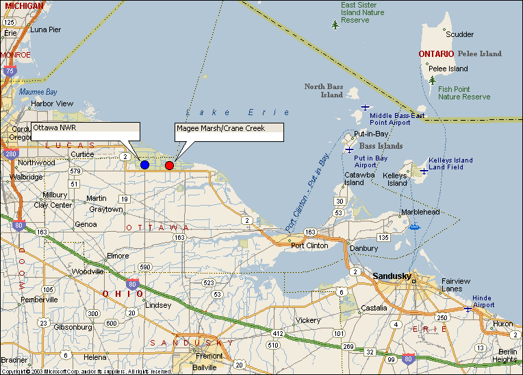
Overview Map.
Directions:
From Cleveland. Take Rt 2 west past Sandusky and Port Clinton. Ottawa NWR is about 40-45 miles west of Sandusky. The entrance to Ottawa NWR is 2 miles west of Magee Marsh. Both refuges are on the North side of Rt 2.
Alternative route. Take the Ohio Turnpike I-80 west to Rt 250 north. Take Rt 250 north to Rt 2. Take Rt 2 west to Ottawa NWR.
Black Swamp Bird Observatory is located in the first building on the left as you enter the road to Magee Marsh Wildlife Area.