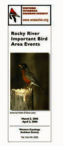


Rocky River IBA Training
April 2, 2006
Hover your mouse over picture to see photographer
 Prior to the indoor event our IBA staff set up the outdoor training sights. |
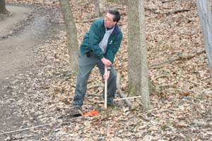 Dan setting up the distance test. |
|
|
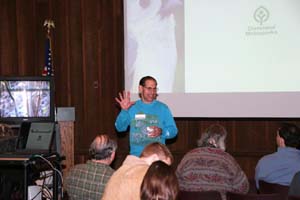
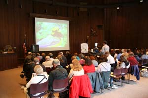 followed by a power-point presentation by Dan Petit, Head of Natural Resources for the Cleveland Metroparks. Dan stated that our main goal is: “To accurately document the status of breeding bird populations in forested habitats in the Rocky River Valley, as well as the environmental and land-use practices that may affect those populations….” In order to do this we need trained volunteers to monitor randomly selected points in a prescribed manner to generate credible, scientific data. |
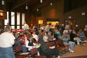 First our dedicated volunteers went through an indoor bird identification testing and training session. Not too happy about being “tested”, they all never-the-less survived and had a few laughs along the way. |
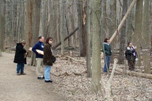
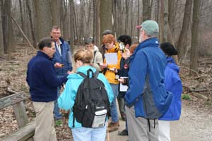
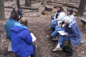
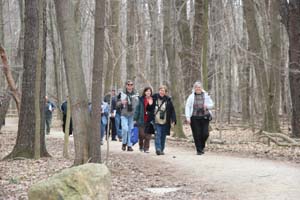
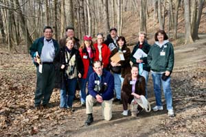
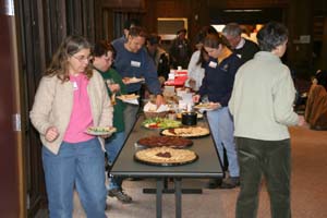 After being fortified with a delicious buffet, they tramped outside to do some real “hands-on” field training. Six stations were set up outside the Rocky River Nature Center for this purpose. |
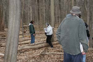 Terri Martincic and Kit Birch put people through their paces learning how many steps they needed to reach both 25 and 50 meter targets in the woods at Station 1 |
 At Station 2, Tom Romito and Don Howell got to show off the new Garmen GPS 60 instruments for use in finding the point count locations. |
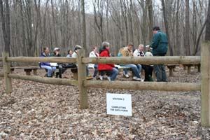 Dan Petit explained how to record bird data on a special survey form at Station 3 |
 At Station 4, Nancy Howell had the fun job of leading a bird identification “look and listen” time. |
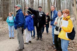 Bill Deininger helped each group learn how to estimate distances from a certain point to flags placed at 25 and 50+ meter distances at Station 5. |
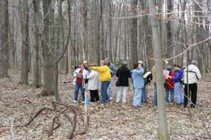 At Station 6, Liz Clingman, Rich Kassouf, Pat Poole and Dean Murad tested participants on their distance estimation skills with 20 flags placed at various locations 25 to more than 50 meters away. |
 Acting as guides and coordinators for all this were Mary Anne Romito, Laurie Boylan and Claudia Anders. |
 Last, but not least, Dave Lewis valiantly hauled his heavy equipment all over the place to take awesome pictures documenting our event. |
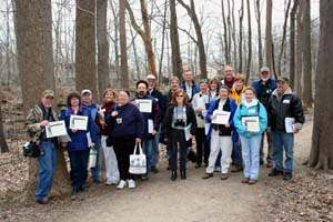 WCAS thanks all the great volunteer monitors who came to this first training event. Those who are not ready to be observers now can be recorders and learn in the field as part of a team. They can eventually become point counters themselves, which will give us an ever widening pool of talent so we can monitor more and more points. Good job! |
 |
|
|